Compared to the Karakorams and the Himalayas, is a smaller range spread over an area of 400 x 250 miles. It has several peaks over 25,000 feet and the highest is Trichmir 7690 m (25,230 ft)- also called Queen of Chitral. The range extends generally in a south-westerly direction for more than 800 km (500 mi), from the plateau region of the Pamirs on the borders of Afghanistan; North-West Frontier Province, Pakistan; and Tajikistan. These mountains, consisting of granites and schist, or crystalline rocks, were probably uplifted in the Tertiary period. The system is in part marked by over thrust of Cretaceous lime stones on Cenozoic shale and clays.
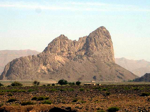
In the first 160-km (about 100 mi) section west of the Pamirs, the Hindu Kush extends southward. In this section the system has a comparatively wide, plateau like summit, dotted with small glacial lakes, and passes ranging in height from 3810 to 5335 Metres (about 12,500 to 17,500 ft) above sea level. The system then turns to the southwest and gains in elevation, and the plateau summit breaks into peaks. Many other peaks in this section rise more than 6096 m (20,000 ft). The Hindu Kush is also the source of many rivers; the most notable are the Kabul and Konar Rivers and several tributaries of the Indus River on the southern slopes.